
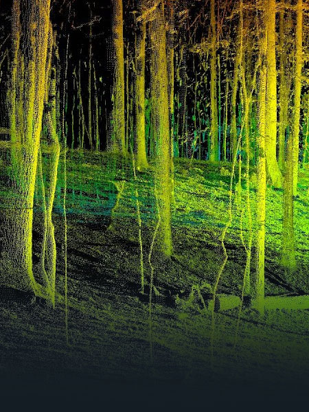
Laser Scanning
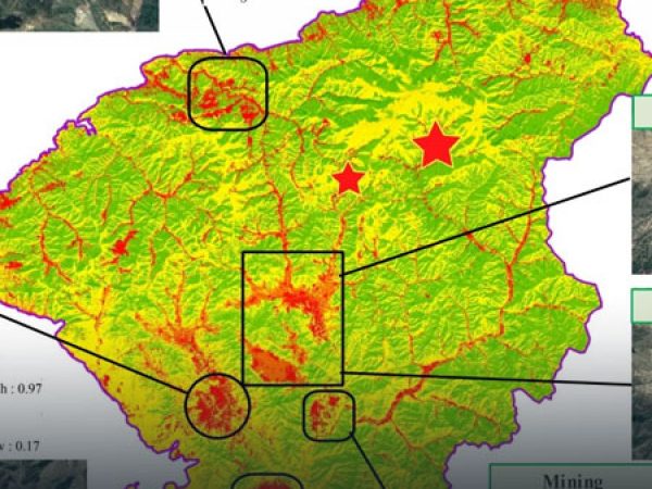
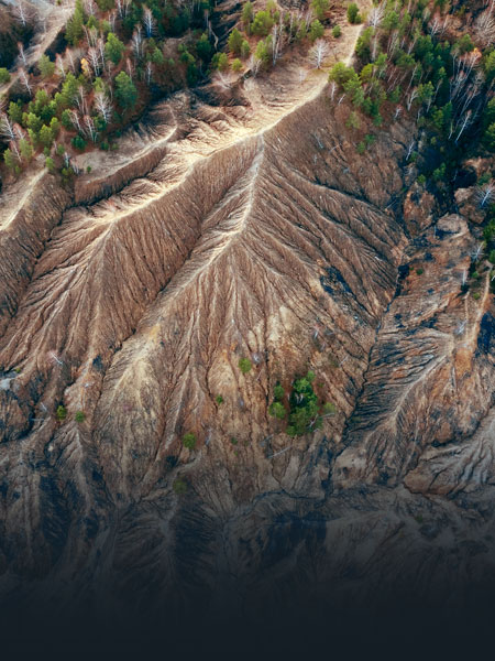
Digital Topographic Information (DSM, DTM & Contour Mapping), Vegetation Health Mapping and Statistical Comparisons of Plant Health, Flow Modelling for Drainage or Spills, Spectral Mapping (Contaminant Identification, Tree Counts, Crown Areas, …), Volume, and Distance & Area Measurements for Compliance.
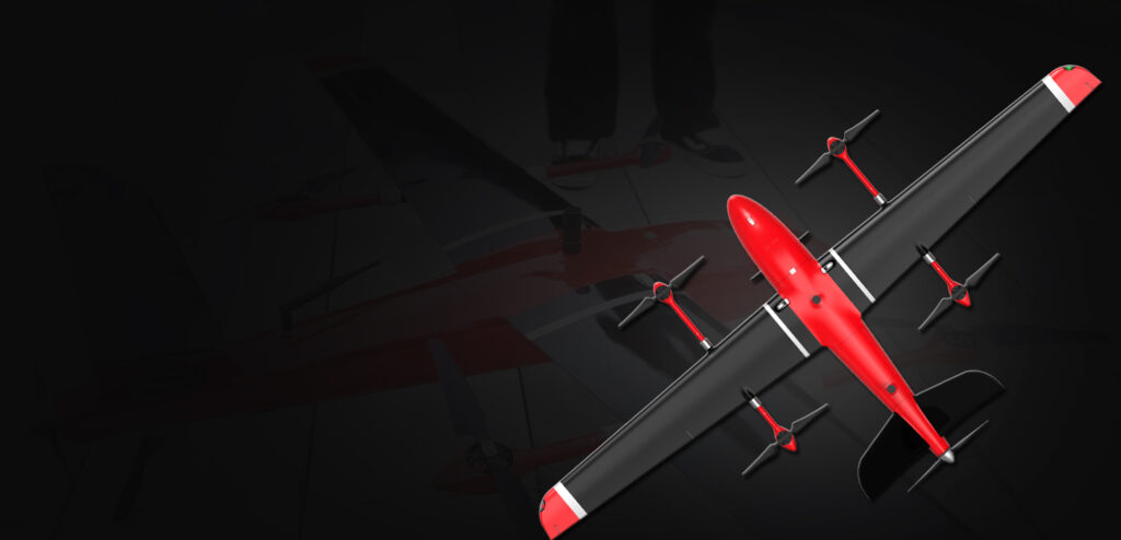
Engineering Grade Surveys
SenseImage Technologies leverages the latest in geomatics, Unmanned Aerial System (UAS) technology and expertise to acquire seamless topographic information and aerial imagery which serve a wide variety of engineering projects.

Aerial Mapping
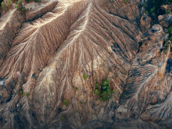
SenseImage Technologies leverages cutting-edge geomatics, remote sensing and GIS expertise to create custom mapping and spatial analysis solutions.
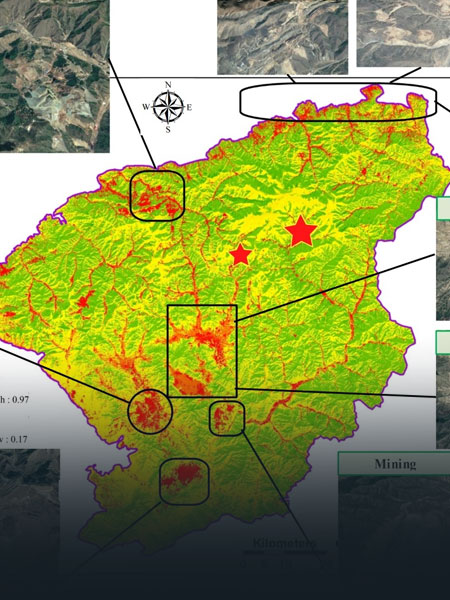
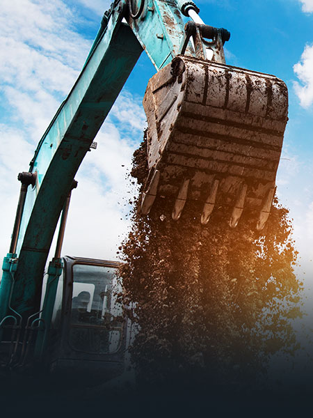
GIS, Remote Sensing & Spatial Analysis
SenseImage Technologies leverages cutting-edge geomatics, remote sensing and GIS expertise to create custom mapping and spatial analysis solutions.
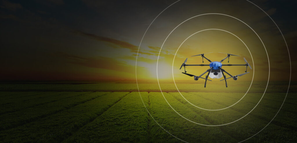
Aerial Gas Detection/Pipeline Monitoring
SenseImage Technologies is a world leader in the successful development of the first unmanned aerial gas detection system.
Thermal Inspections & Mapping
SenseImage Technologies has a unique capability to acquire and merge thermal and RGB imagery using high performance Unmanned Aerial Systems